Static Map Catalogue - Full Metadata Record
Collection Cartosat
European Cities: Cartosat-1 Euro-Maps 3D. More details here.
CA1_OPER_DSM_DEM_3D_20130813T090125_N41-000_E029-000_4C
Download Product | Browse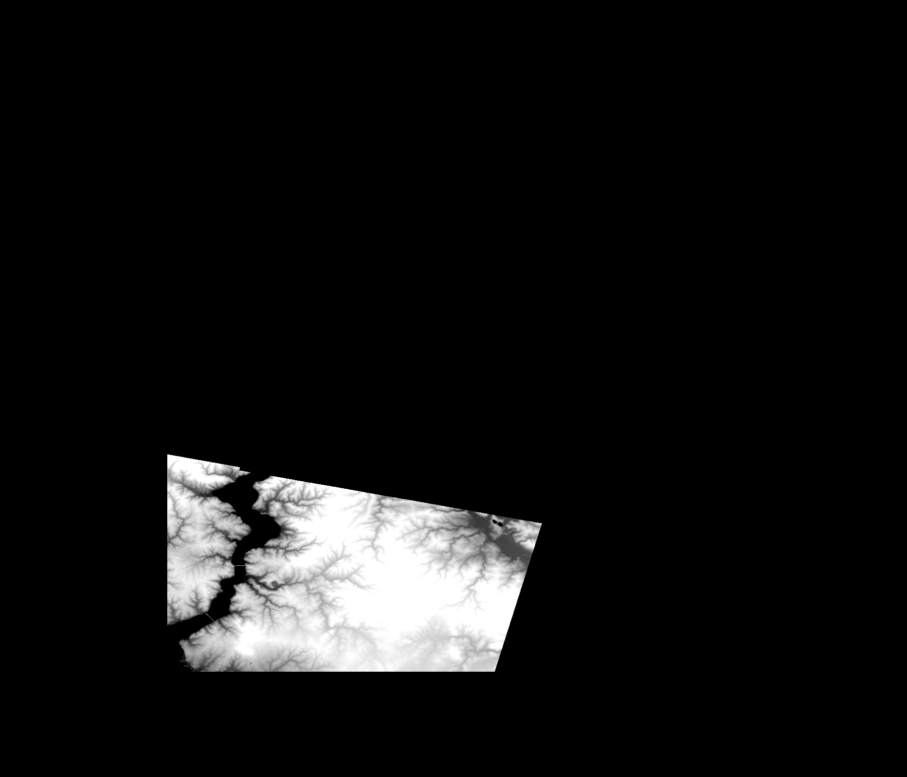
Start Date | 2013-08-13T09:01:25Z |
Stop Date | 2013-08-13T09:01:25Z |
Availability Time | 2013-08-13T09:01:25Z |
Platform Short Name | Cartosat |
Serial Identifier | 1 |
Instrument Short Name | DSM |
Operational Mode | DEFAULT |
Resolution | |
Orbit Number | 0 |
Orbit Direction | |
Path | |
Row | |
Illumination Azimuth Angle | |
Illumination Elevation Angle | |
Footprint | 41.1794597333 29.0606701922 41.1794111668 29.0609130246 41.1793626003 29.0611558569 41.1793140339 29.0613986893 41.1292905699 29.3305540655 41.1292420034 29.3307968978 41.1291934369 29.3310397302 41.1291448704 29.3312825625 41.129096304 29.331331129 41.128999171 29.3313796955 40.9969955058 29.2894182655 40.996704107 28.9970966831 40.996704107 28.9968538508 41.1906300213 28.9966110184 41.1794597333 29.0606701922 |
Scene Centre | |
Size | 33028180 |
Id | CA1_OPER_DSM_DEM_3D_20130813T090125_N41-000_E029-000_4C |
Acquisition Type | NOMINAL |
Product Type | DSM_DEM_3D |
Status | ARCHIVED |
Bounding Box | 41.5971314 28.8468806 40.9024366 28.8468806 40.9024366 29.6578921 41.5971314 29.6578921 41.5971314 28.8468806 |
Site | Istanbul |