Static Map Catalogue - Full Metadata Record
Collection Cartosat
European Cities: Cartosat-1 Euro-Maps 3D. More details here.
CA1_OPER_DSM_DEM_3D_20130813T090125_N41-000_E028-000_4D
Download Product | Browse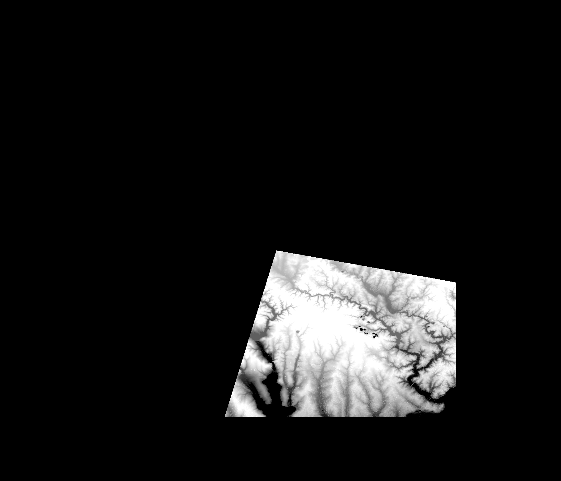
Start Date | 2013-08-13T09:01:25Z |
Stop Date | 2013-08-13T09:01:25Z |
Availability Time | 2013-08-13T09:01:25Z |
Platform Short Name | Cartosat |
Serial Identifier | 1 |
Instrument Short Name | DSM |
Operational Mode | DEFAULT |
Resolution | |
Orbit Number | 0 |
Orbit Direction | |
Path | |
Row | |
Illumination Azimuth Angle | |
Illumination Elevation Angle | |
Footprint | 41.19023273 29.0001423213 41.1897950673 29.0026224099 41.1897464381 29.002914185 41.0550922175 29.0032545893 40.9969803383 29.0033518477 40.9967371924 28.6728678886 40.9966885632 28.6727706302 41.2349229534 28.7462007035 41.235068841 28.7462493327 41.2352633577 28.7462979619 41.2354092453 28.7463465911 41.19023273 29.0001423213 |
Scene Centre | |
Size | 44022239 |
Id | CA1_OPER_DSM_DEM_3D_20130813T090125_N41-000_E028-000_4D |
Acquisition Type | NOMINAL |
Product Type | DSM_DEM_3D |
Status | ARCHIVED |
Bounding Box | 41.5948762 28.3506509 40.9047308 28.3506509 40.9047308 29.1541510 41.5948762 29.1541510 41.5948762 28.3506509 |
Site | Istanbul |