Static Map Catalogue - Full Metadata Record
Collection Cartosat
European Cities: Cartosat-1 Euro-Maps 3D. More details here.
CA1_OPER_DSM_DEM_3D_20130813T090125_N40-000_E029-000_4A
Download Product | Browse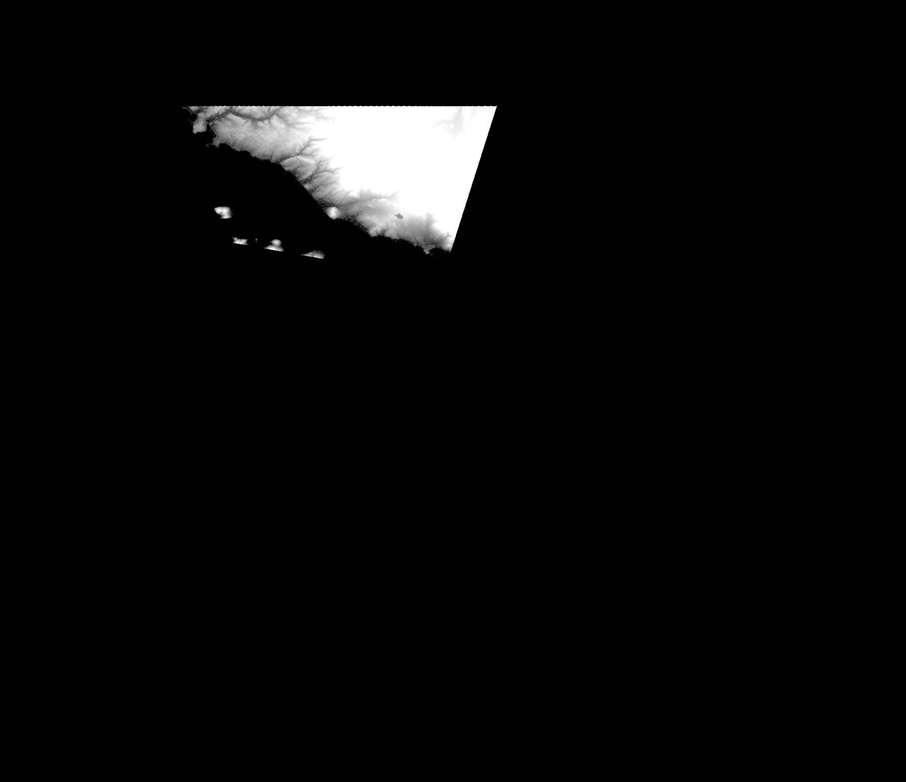
Start Date | 2013-08-13T09:01:25Z |
Stop Date | 2013-08-13T09:01:25Z |
Availability Time | 2013-08-13T09:01:25Z |
Platform Short Name | Cartosat |
Serial Identifier | 1 |
Instrument Short Name | DSM |
Operational Mode | DEFAULT |
Resolution | |
Orbit Number | 0 |
Orbit Direction | |
Path | |
Row | |
Illumination Azimuth Angle | |
Illumination Elevation Angle | |
Footprint | 41.0033744963 29.2909352049 41.0033744963 29.2909352049 41.0034230245 29.2910807895 40.8622060159 29.2467745597 40.8620604314 29.2467260315 40.8619148468 29.2466775033 40.8596825505 29.1818923808 40.8595369659 29.1818438526 40.8593913814 29.1817953244 40.8923905449 28.9974367624 40.8924390731 28.9971941215 40.8925361294 28.9967088397 41.0031318554 28.9966603115 41.0033744963 29.2909352049 |
Scene Centre | |
Size | 52815653 |
Id | CA1_OPER_DSM_DEM_3D_20130813T090125_N40-000_E029-000_4A |
Acquisition Type | NOMINAL |
Product Type | DSM_DEM_3D |
Status | ARCHIVED |
Bounding Box | 41.0977618 28.8489405 40.4017706 28.8489405 40.4017706 29.6557215 41.0977618 29.6557215 41.0977618 28.8489405 |
Site | Istanbul |