Static Map Catalogue - Full Metadata Record
Collection Cartosat
European Cities: Cartosat-1 Euro-Maps 3D. More details here.
CA1_OPER_DSM_DEM_3D_20140331T091321_N47-000_E027-000_4D
Download Product | Browse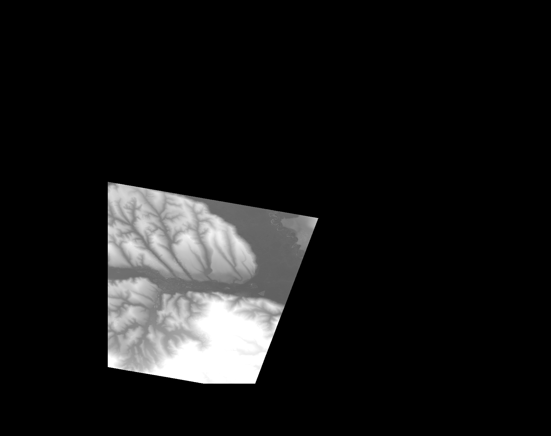
Start Date | 2014-03-31T09:13:21Z |
Stop Date | 2014-03-31T09:13:21Z |
Availability Time | 2014-03-31T09:13:21Z |
Platform Short Name | Cartosat |
Serial Identifier | 1 |
Instrument Short Name | DSM |
Operational Mode | DEFAULT |
Resolution | |
Orbit Number | 0 |
Orbit Direction | |
Path | |
Row | |
Illumination Azimuth Angle | |
Illumination Elevation Angle | |
Footprint | 47.2497817854 27.8173745193 47.2497323824 27.8176709374 47.2496829794 27.8179673556 47.2496335764 27.8182637737 46.9971841422 27.72202669 46.9970359331 27.721977287 46.996788918 27.7218784809 46.996690112 27.7054272751 47.0218856524 27.4981816046 47.0220338614 27.4975393653 47.0220832644 27.4972429472 47.2888101715 27.496699514 47.2903910682 27.496600708 47.2907862923 27.496699514 47.2497817854 27.8173745193 |
Scene Centre | |
Size | 53029935 |
Id | CA1_OPER_DSM_DEM_3D_20140331T091321_N47-000_E027-000_4D |
Acquisition Type | NOMINAL |
Product Type | DSM_DEM_3D |
Status | ARCHIVED |
Bounding Box | 47.5827581 27.3320392 46.9168054 27.3320392 46.9168054 28.1738667 47.5827581 28.1738667 47.5827581 27.3320392 |
Site | Iasi |