Static Map Catalogue - Full Metadata Record
Collection Cartosat
European Cities: Cartosat-1 Euro-Maps 3D. More details here.
CA1_OPER_DSM_DEM_3D_20140331T091321_N47-000_E027-000_4C
Download Product | Browse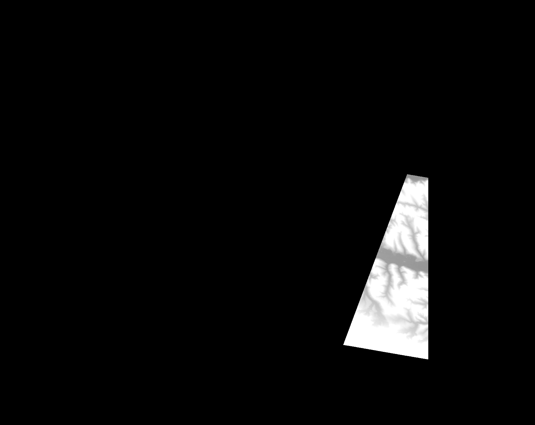
Start Date | 2014-03-31T09:13:21Z |
Stop Date | 2014-03-31T09:13:21Z |
Availability Time | 2014-03-31T09:13:21Z |
Platform Short Name | Cartosat |
Serial Identifier | 1 |
Instrument Short Name | DSM |
Operational Mode | DEFAULT |
Resolution | |
Orbit Number | 0 |
Orbit Direction | |
Path | |
Row | |
Illumination Azimuth Angle | |
Illumination Elevation Angle | |
Footprint | 47.3054413028 27.494354025 47.3040554337 27.5025207536 47.3040059384 27.5028672209 47.284009827 27.5033126788 47.2834158831 27.5033126788 47.282030014 27.5033126788 47.0780102836 27.5033621741 47.0756840033 27.5033126788 47.0750900594 27.5033126788 47.0464817615 27.5033621741 47.0441554812 27.5033126788 47.0441059859 27.5032631835 47.043512042 27.5032631835 47.021288641 27.5033621741 47.0435615373 27.3716551138 47.0436110326 27.3713581419 47.0436605279 27.3710116746 47.0437100233 27.3709621793 47.306678686 27.4692598951 47.3068271719 27.4693093904 47.3089059756 27.4701013156 47.3092524429 27.4702498016 47.3093019382 27.4702992969 47.3054413028 27.494354025 |
Scene Centre | |
Size | 50852466 |
Id | CA1_OPER_DSM_DEM_3D_20140331T091321_N47-000_E027-000_4C |
Acquisition Type | NOMINAL |
Product Type | DSM_DEM_3D |
Status | ARCHIVED |
Bounding Box | 47.5807343 26.8364622 46.9188828 26.8364622 46.9188828 27.6694190 47.5807343 27.6694190 47.5807343 26.8364622 |
Site | Iasi |