Static Map Catalogue - Full Metadata Record
Collection Cartosat
European Cities: Cartosat-1 Euro-Maps 3D. More details here.
CA1_OPER_DSM_DEM_3D_20110508T102923_N53-000_E009-000_4B
Download Product | Browse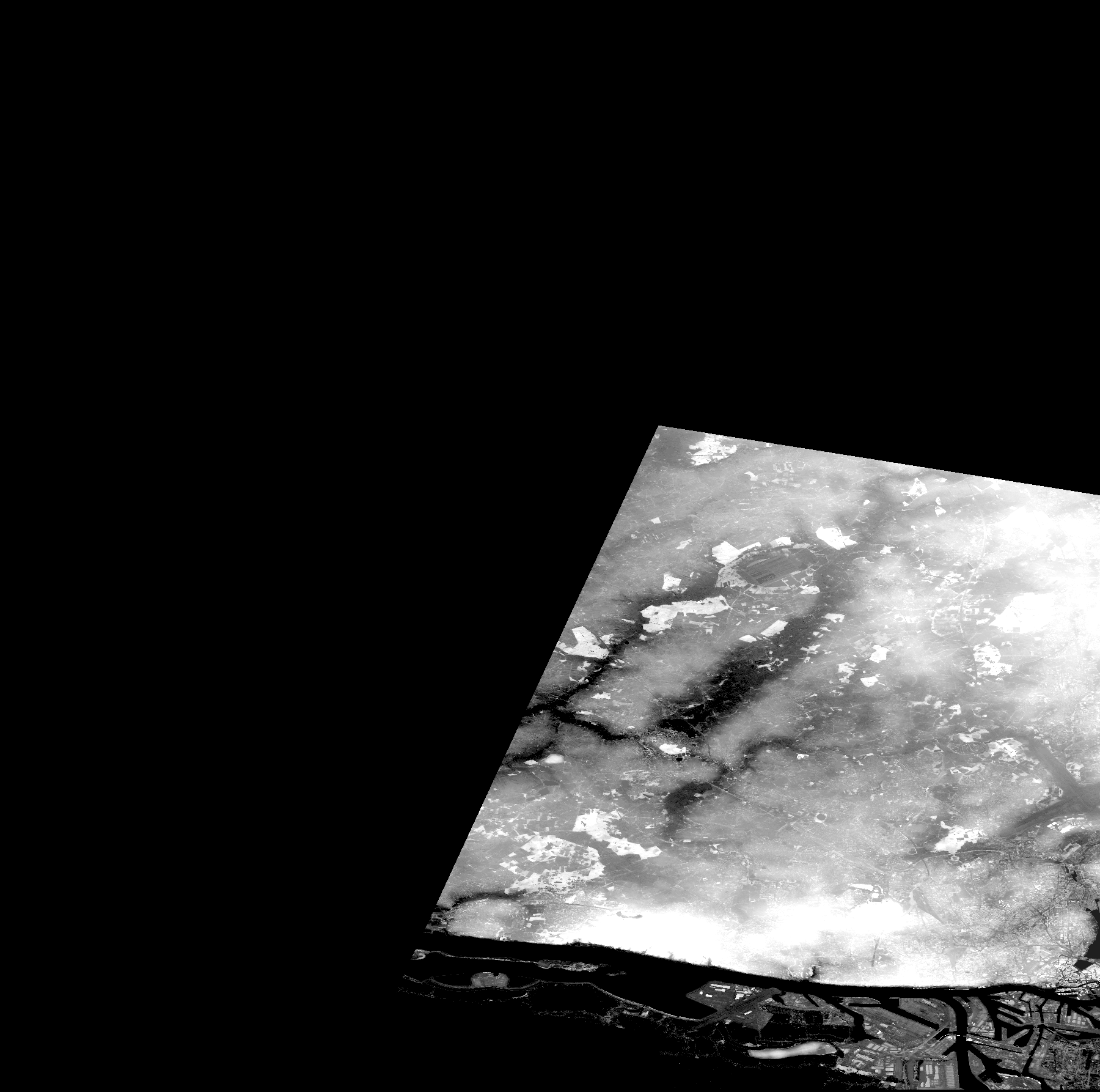
Start Date | 2011-05-08T10:29:23Z |
Stop Date | 2011-05-08T10:29:23Z |
Availability Time | 2011-05-08T10:29:23Z |
Platform Short Name | Cartosat |
Serial Identifier | 1 |
Instrument Short Name | DSM |
Operational Mode | DEFAULT |
Resolution | |
Orbit Number | 0 |
Orbit Direction | |
Path | |
Row | |
Illumination Azimuth Angle | |
Illumination Elevation Angle | |
Footprint | 53.7738668579 10.0016628608 53.7738120424 10.0022658307 53.773757227 10.0025947234 53.7737024115 10.0028139851 53.7736475961 10.0030880624 53.7535851438 10.0033621396 53.4966651601 9.80334058627 53.4967199756 9.80125759942 53.5420523473 9.67638801914 53.5421071628 9.67589468015 53.5421619782 9.67556578749 53.5425456863 9.67529171027 53.619506569 9.71081211766 53.6323881982 9.71673218555 53.6464209517 9.72325522333 53.6562329161 9.72780490514 53.6847369467 9.74101542702 53.6852302857 9.74123468879 53.7285344861 9.76135195656 53.7549555299 9.7736306159 53.7641097089 9.77790622049 53.796012297 9.79276120568 53.8056598151 9.79725607204 53.8058242614 9.79731088749 53.8059887077 9.79736570293 53.8061531541 9.79747533382 53.7738668579 10.0016628608 |
Scene Centre | |
Size | 50066107 |
Id | CA1_OPER_DSM_DEM_3D_20110508T102923_N53-000_E009-000_4B |
Acquisition Type | NOMINAL |
Product Type | DSM_DEM_3D |
Status | ARCHIVED |
Bounding Box | 54.0044754 9.4905637 53.4956237 9.4905637 53.4956237 10.0034170 54.0044754 10.0034170 54.0044754 9.4905637 |
Site | Hamburg |