Static Map Catalogue - Full Metadata Record
Collection Cartosat
European Cities: Cartosat-1 Euro-Maps 3D. More details here.
CA1_OPER_PAN_PAM_3O_20140905T083013_N47-998_E037-722_01
Download Product | Browse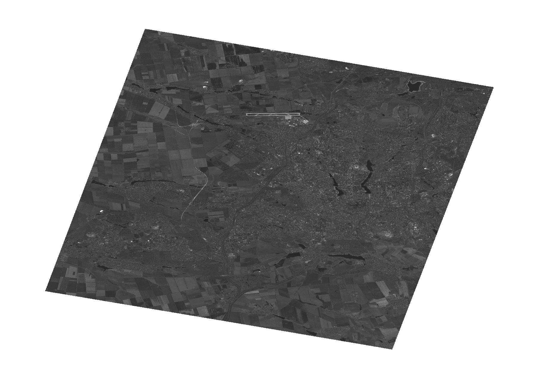
Start Date | 2014-09-05T08:30:13Z |
Stop Date | 2014-09-05T08:30:17Z |
Availability Time | 2014-09-05T08:30:17Z |
Platform Short Name | Cartosat |
Serial Identifier | 1 |
Instrument Short Name | PAN |
Operational Mode | PAM |
Resolution | 2.5 |
Orbit Number | 50538 |
Orbit Direction | DESCENDING |
Path | E037 |
Row | N47 |
Illumination Azimuth Angle | 158.78137747 |
Illumination Elevation Angle | 47.02045023 |
Footprint | 48.1899285 37.4493506 47.8072542 37.4493506 47.8072542 37.9947297 48.1899285 37.9947297 48.1899285 37.4493506 |
Scene Centre | 47.9989140302 37.72204015 |
Size | 105591611 |
Id | CA1_OPER_PAN_PAM_3O_20140905T083013_N47-998_E037-722_01 |
Acquisition Type | NOMINAL |
Product Type | PAN_PAM_3O |
Status | ARCHIVED |
Bounding Box | 48.1899285 37.4493506 47.8072542 37.4493506 47.8072542 37.9947297 48.1899285 37.9947297 |
Site | Donetsk |