Static Map Catalogue - Full Metadata Record
Collection Cartosat
European Cities: Cartosat-1 Euro-Maps 3D. More details here.
CA1_OPER_PAN_PAM_3O_20090922T082506_N47-959_E037-937_01
Download Product | Browse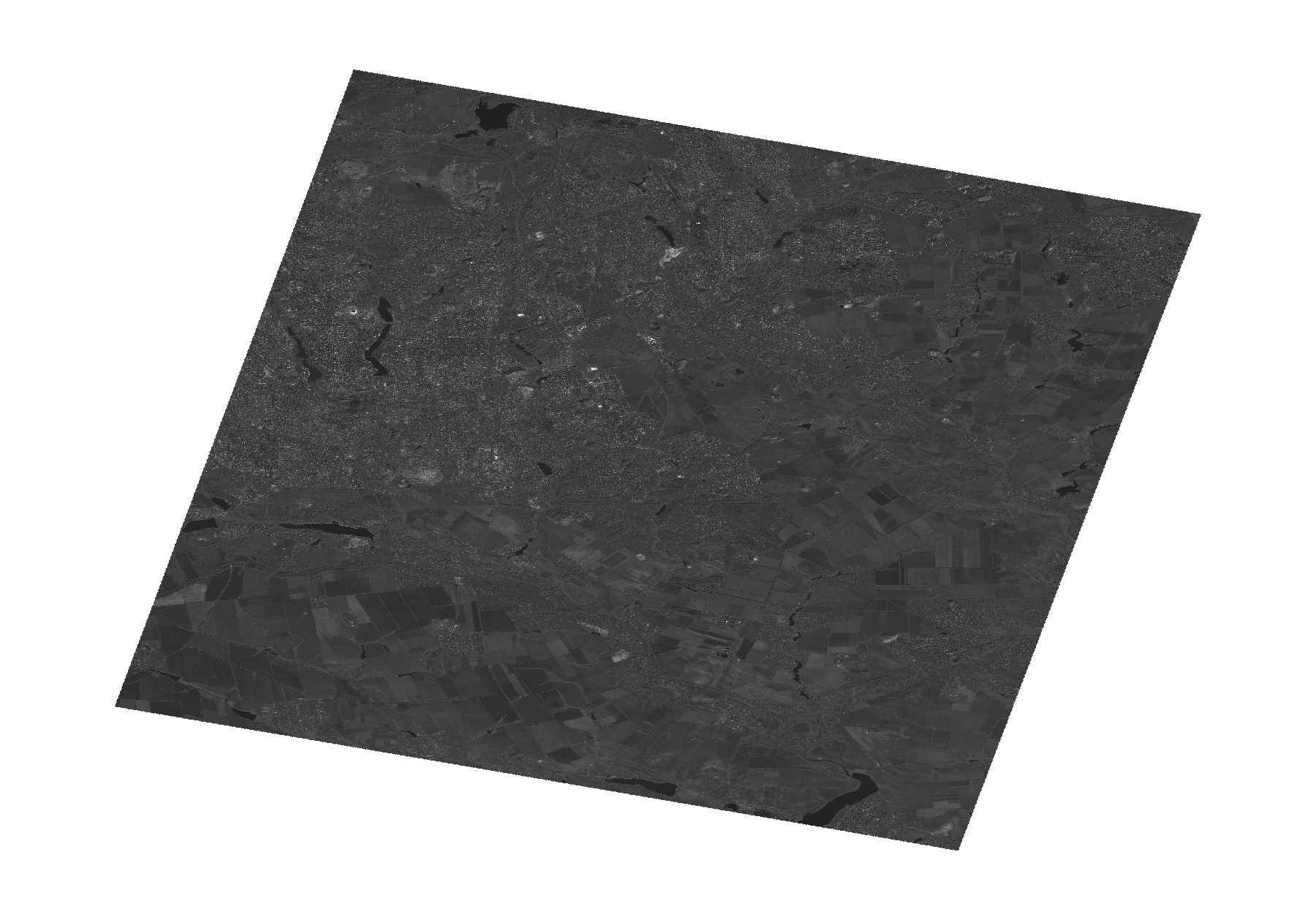
Start Date | 2009-09-22T08:25:06Z |
Stop Date | 2009-09-22T08:25:10Z |
Availability Time | 2009-09-22T08:25:10Z |
Platform Short Name | Cartosat |
Serial Identifier | 1 |
Instrument Short Name | PAN |
Operational Mode | PAM |
Resolution | 2.5 |
Orbit Number | 23726 |
Orbit Direction | DESCENDING |
Path | E037 |
Row | N47 |
Illumination Azimuth Angle | 161.45894795 |
Illumination Elevation Angle | 40.75300950 |
Footprint | 48.1506997 37.6627411 47.7669779 37.6627411 47.7669779 38.2117867 48.1506997 38.2117867 48.1506997 37.6627411 |
Scene Centre | 47.9591658808 37.9372639 |
Size | 104148033 |
Id | CA1_OPER_PAN_PAM_3O_20090922T082506_N47-959_E037-937_01 |
Acquisition Type | NOMINAL |
Product Type | PAN_PAM_3O |
Status | ARCHIVED |
Bounding Box | 48.1506997 37.6627411 47.7669779 37.6627411 47.7669779 38.2117867 48.1506997 38.2117867 |
Site | Donetsk |