Static Map Catalogue - Full Metadata Record
Collection Cartosat
European Cities: Cartosat-1 Euro-Maps 3D. More details here.
CA1_OPER_DSM_DEM_3D_20140905T083013_N48-000_E037-000_4D
Download Product | Browse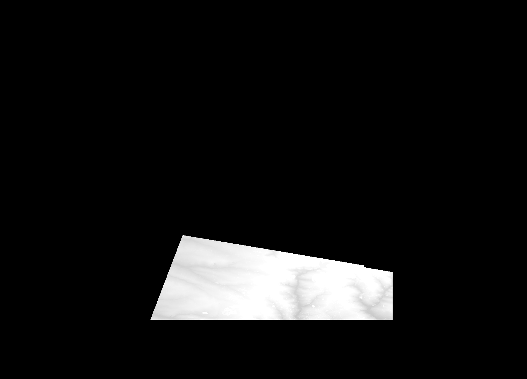
Start Date | 2014-09-05T08:30:13Z |
Stop Date | 2014-09-05T08:30:13Z |
Availability Time | 2014-09-05T08:30:13Z |
Platform Short Name | Cartosat |
Serial Identifier | 1 |
Instrument Short Name | DSM |
Operational Mode | DEFAULT |
Resolution | |
Orbit Number | 0 |
Orbit Direction | |
Path | |
Row | |
Illumination Azimuth Angle | |
Illumination Elevation Angle | |
Footprint | 48.1019307356 37.9479921848 48.101883121 37.9481826431 48.1018355065 37.9485635597 48.1017878919 37.9487064034 48.0893128744 38.0018442644 48.0892176452 38.0026060975 48.0891700306 38.0027489413 48.0891224161 38.0031298578 47.9967025342 37.533745419 47.9967501488 37.5336978044 47.9967025342 37.5336025753 48.1606395014 37.5958348193 48.1607347305 37.5958824339 48.1019307356 37.9479921848 |
Scene Centre | |
Size | 46589426 |
Id | CA1_OPER_DSM_DEM_3D_20140905T083013_N48-000_E037-000_4D |
Acquisition Type | NOMINAL |
Product Type | DSM_DEM_3D |
Status | ARCHIVED |
Bounding Box | 48.6182631 37.2413920 47.8811420 37.2413920 47.8811420 38.2643910 48.6182631 38.2643910 48.6182631 37.2413920 |
Site | Donetsk |