Static Map Catalogue - Full Metadata Record
Collection Cartosat
European Cities: Cartosat-1 Euro-Maps 3D. More details here.
CA1_OPER_PAN_PAM_3O_20120914T084331_N48-403_E035-117_01
Download Product | Browse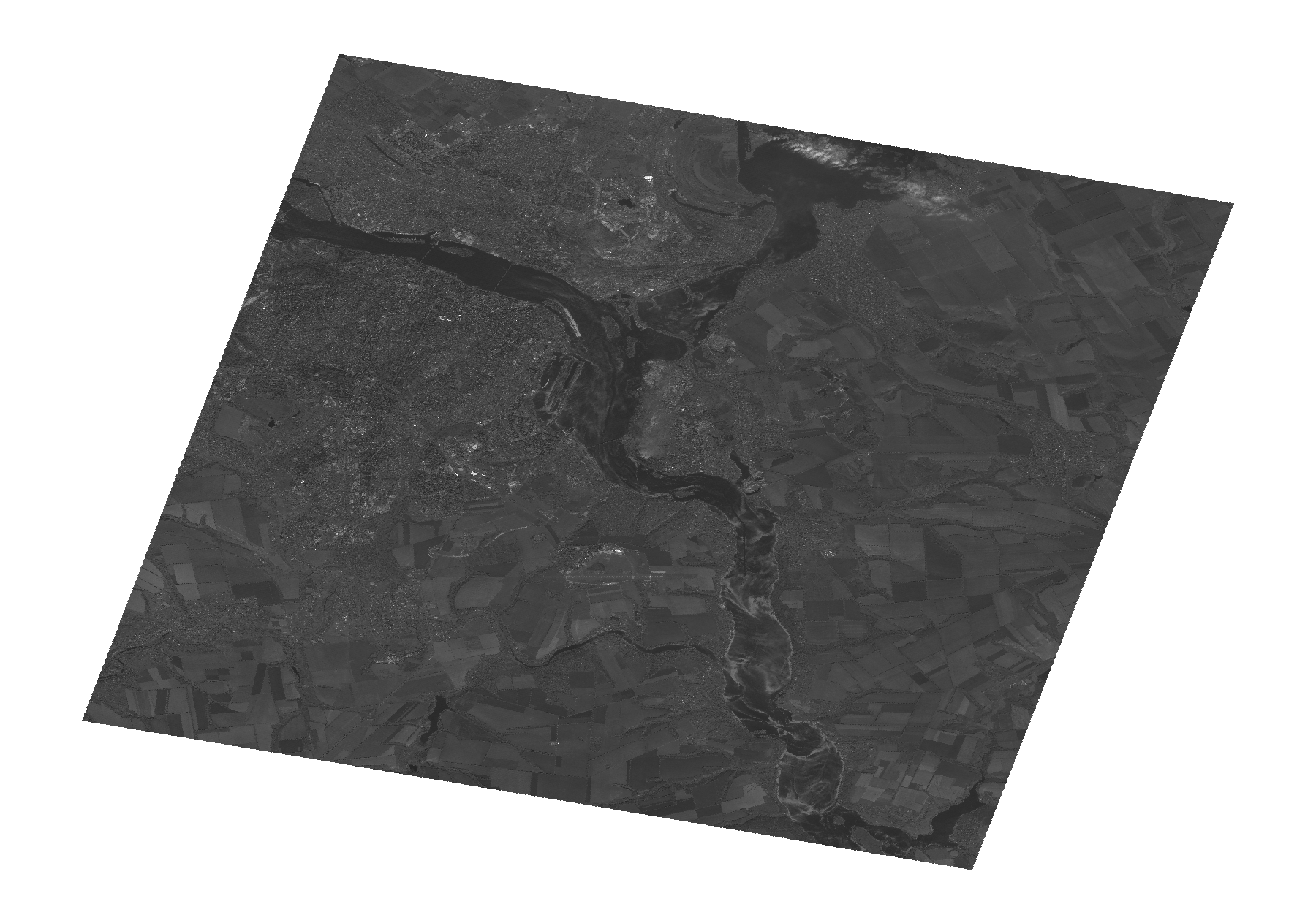
Start Date | 2012-09-14T08:43:31Z |
Stop Date | 2012-09-14T08:43:35Z |
Availability Time | 2012-09-14T08:43:35Z |
Platform Short Name | Cartosat |
Serial Identifier | 1 |
Instrument Short Name | PAN |
Operational Mode | PAM |
Resolution | 2.5 |
Orbit Number | 39849 |
Orbit Direction | DESCENDING |
Path | E035 |
Row | N48 |
Illumination Azimuth Angle | 162.20109642 |
Illumination Elevation Angle | 43.48258266 |
Footprint | 48.5867630 34.8563202 48.2195629 34.8563202 48.2195629 35.3796458 48.5867630 35.3796458 48.5867630 34.8563202 |
Scene Centre | 48.4034595909 35.117983 |
Size | 94855724 |
Id | CA1_OPER_PAN_PAM_3O_20120914T084331_N48-403_E035-117_01 |
Acquisition Type | NOMINAL |
Product Type | PAN_PAM_3O |
Status | ARCHIVED |
Bounding Box | 48.586763 34.8563202 48.2195629 34.8563202 48.2195629 35.3796458 48.586763 35.3796458 |
Site | Dnipro |