Static Map Catalogue - Full Metadata Record
Collection Cartosat
European Cities: Cartosat-1 Euro-Maps 3D. More details here.
CA1_OPER_DSM_DEM_3D_20120914T084331_N48-000_E035-000_4C
Download Product | Browse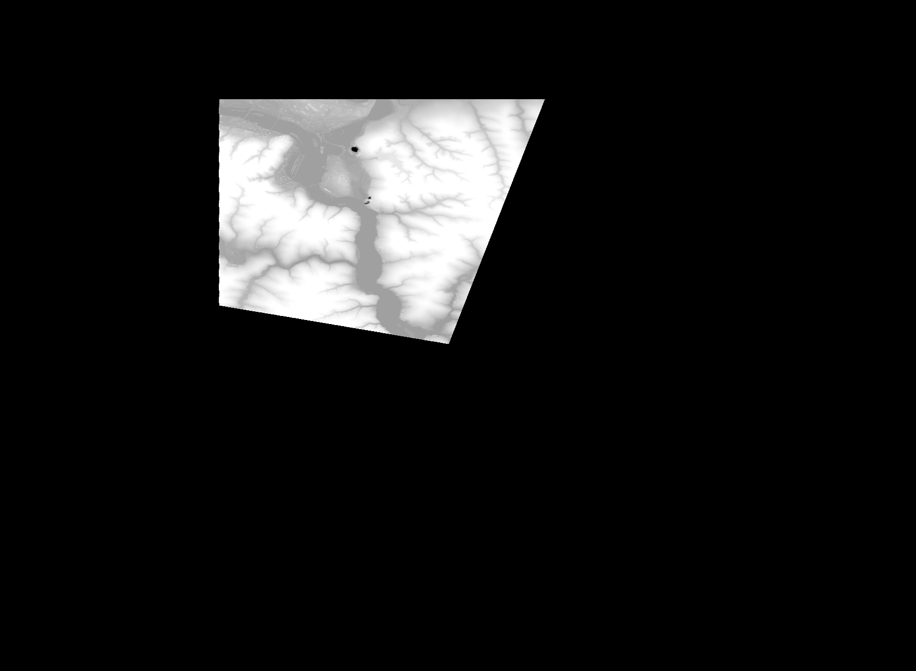
Start Date | 2012-09-14T08:43:31Z |
Stop Date | 2012-09-14T08:43:31Z |
Availability Time | 2012-09-14T08:43:31Z |
Platform Short Name | Cartosat |
Serial Identifier | 1 |
Instrument Short Name | DSM |
Operational Mode | DEFAULT |
Resolution | |
Orbit Number | 0 |
Orbit Direction | |
Path | |
Row | |
Illumination Azimuth Angle | |
Illumination Elevation Angle | |
Footprint | 48.5033662226 35.3452125822 48.5033662226 35.3452125822 48.5034143057 35.3452606653 48.5034623888 35.3454049146 48.5034143057 35.3454529977 48.2432848044 35.24409385 48.2431886382 35.2440457669 48.2407844838 35.2431321883 48.2405921515 35.2430360221 48.2817993572 34.9976199454 48.2818474402 34.9974276131 48.2818955233 34.9969948653 48.3246894709 34.9966582837 48.5033662226 35.3452125822 |
Scene Centre | |
Size | 42440965 |
Id | CA1_OPER_DSM_DEM_3D_20120914T084331_N48-000_E035-000_4C |
Acquisition Type | NOMINAL |
Product Type | DSM_DEM_3D |
Status | ARCHIVED |
Bounding Box | 48.6097741 34.7615801 47.8896337 34.7615801 47.8896337 35.7443503 48.6097741 35.7443503 48.6097741 34.7615801 |
Site | Dnipro |