Static Map Catalogue - Full Metadata Record
Collection Cartosat
European Cities: Cartosat-1 Euro-Maps 3D. More details here.
CA1_OPER_DSM_DEM_3D_20120914T084331_N48-000_E034-000_4D
Download Product | Browse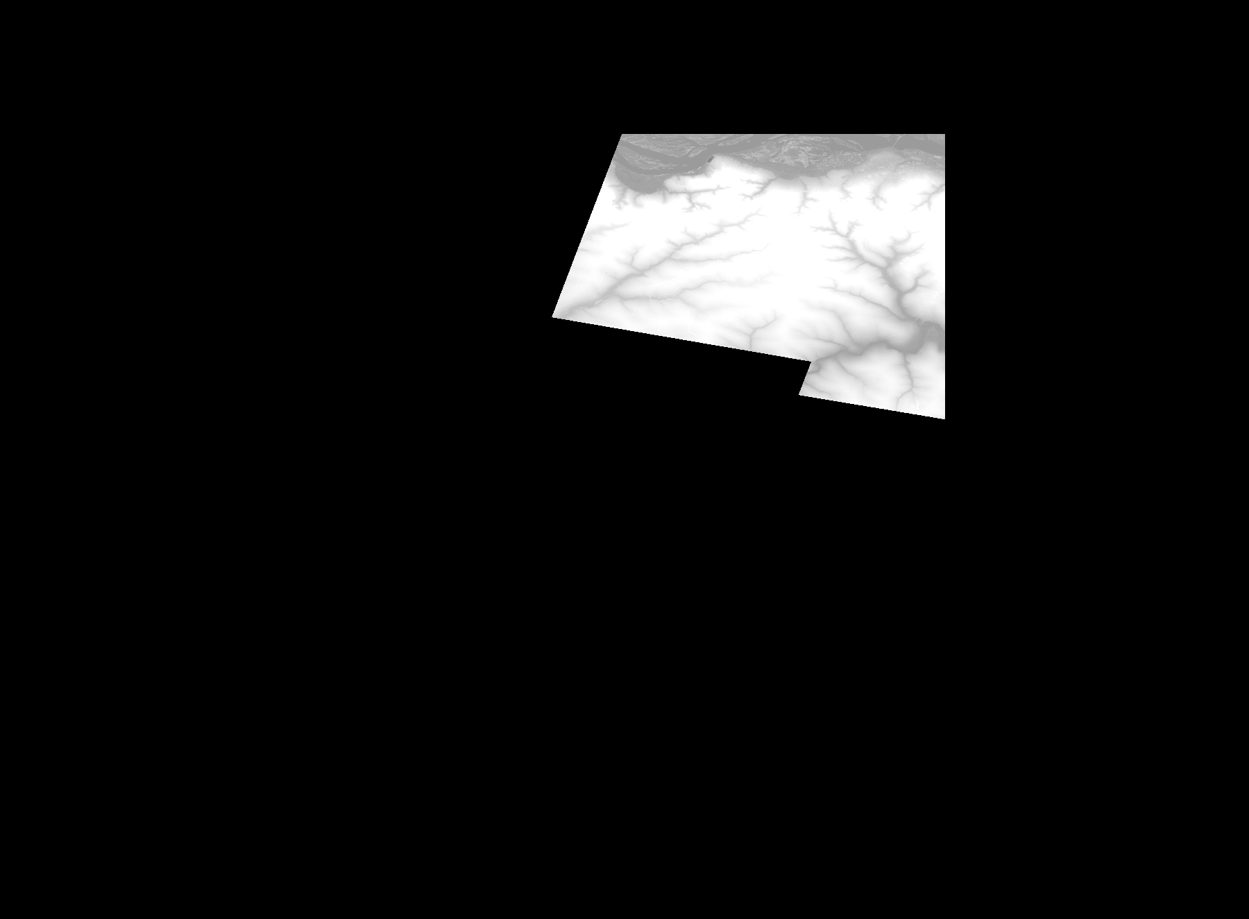
Start Date | 2012-09-14T08:43:31Z |
Stop Date | 2012-09-14T08:43:31Z |
Availability Time | 2012-09-14T08:43:31Z |
Platform Short Name | Cartosat |
Serial Identifier | 1 |
Instrument Short Name | DSM |
Operational Mode | DEFAULT |
Resolution | |
Orbit Number | 0 |
Orbit Direction | |
Path | |
Row | |
Illumination Azimuth Angle | |
Illumination Elevation Angle | |
Footprint | 48.5034282236 35.0029686727 48.5034282236 35.0029686727 48.5033800461 35.0030650277 48.3597147573 35.0032577377 48.2997337765 34.8897515604 48.299781954 34.8895588505 48.2997337765 34.8894624955 48.299781954 34.8893661405 48.2998301315 34.8891734305 48.299878309 34.888932543 48.3603410647 34.6973788246 48.3603892422 34.6971861146 48.3604374197 34.6967525172 48.3604855972 34.6965598072 48.3605337747 34.6963670972 48.4853134856 34.7439182843 48.5026573837 34.7505667786 48.5031391586 34.7507113111 48.5031873361 34.7507594886 48.5032836911 34.7507113111 48.5034282236 35.0029686727 |
Scene Centre | |
Size | 48661336 |
Id | CA1_OPER_DSM_DEM_3D_20120914T084331_N48-000_E034-000_4D |
Acquisition Type | NOMINAL |
Product Type | DSM_DEM_3D |
Status | ARCHIVED |
Bounding Box | 48.6080216 34.2657085 47.8913813 34.2657085 47.8913813 35.2401947 48.6080216 35.2401947 48.6080216 34.2657085 |
Site | Dnipro |