Static Map Catalogue - Full Metadata Record
Collection Cartosat
European Cities: Cartosat-1 Euro-Maps 3D. More details here.
CA1_OPER_DSM_DEM_3D_20110422T103752_N50-000_E007-000_4A
Download Product | Browse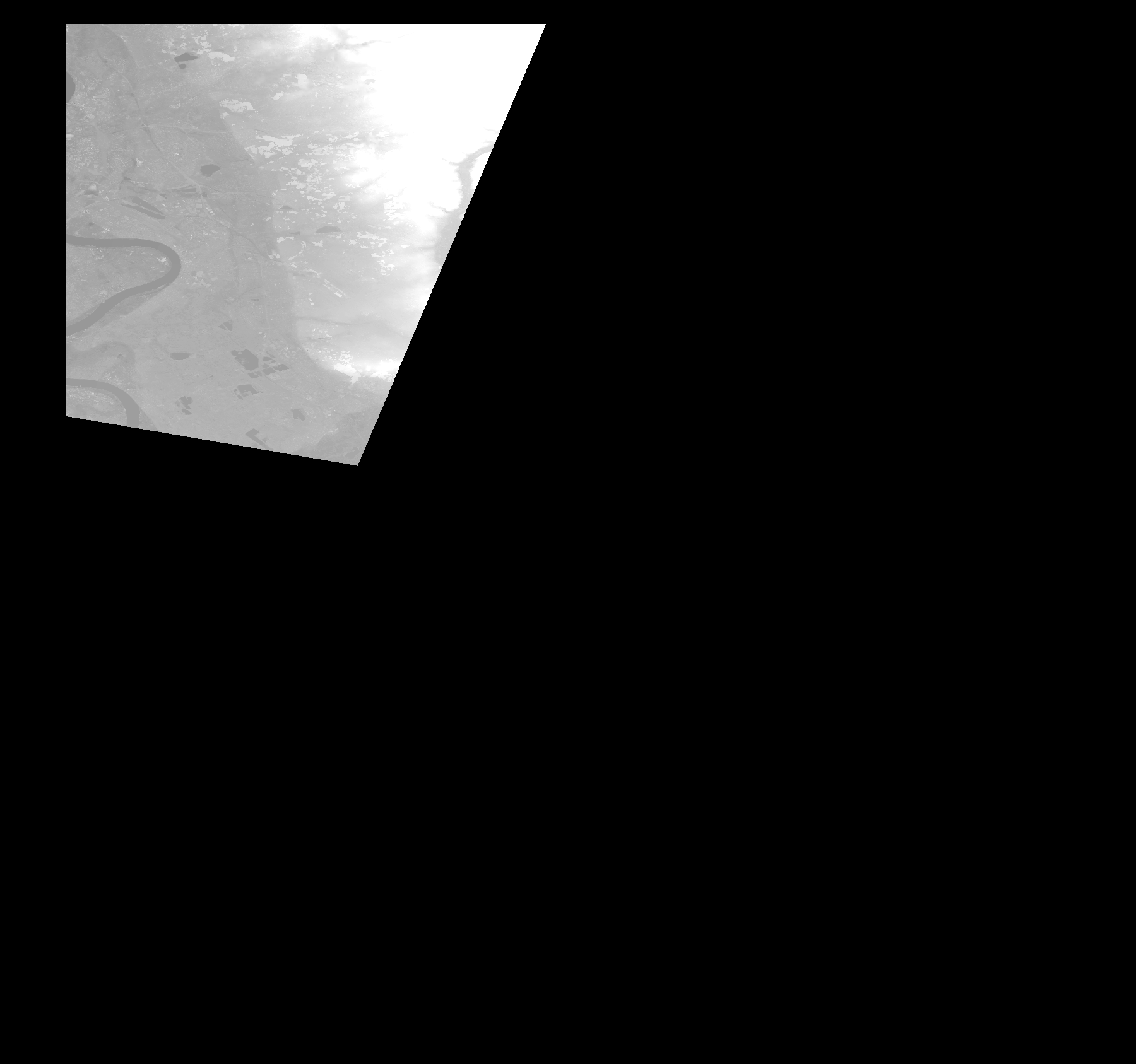
Start Date | 2011-04-22T10:37:52Z |
Stop Date | 2011-04-22T10:37:52Z |
Availability Time | 2011-04-22T10:37:52Z |
Platform Short Name | Cartosat |
Serial Identifier | 1 |
Instrument Short Name | DSM |
Operational Mode | DEFAULT |
Resolution | |
Orbit Number | 0 |
Orbit Direction | |
Path | |
Row | |
Illumination Azimuth Angle | |
Illumination Elevation Angle | |
Footprint | 51.0033777711 7.23317720028 51.0033777711 7.23317720028 51.003432785 7.23482761751 51.0033777711 7.23504767314 50.7848075161 7.1429543918 50.7836522241 7.14245926663 50.7832671267 7.14234923881 50.8076382878 6.99793773134 50.8076933017 6.99755263398 50.8078033295 6.99683745319 51.0020574373 6.99667241146 51.0033777711 7.23317720028 |
Scene Centre | |
Size | 62438744 |
Id | CA1_OPER_DSM_DEM_3D_20110422T103752_N50-000_E007-000_4A |
Acquisition Type | NOMINAL |
Product Type | DSM_DEM_3D |
Status | ARCHIVED |
Bounding Box | 51.0154258 6.9638841 50.4844866 6.9638841 50.4844866 7.5303073 51.0154258 7.5303073 51.0154258 6.9638841 |
Site | Cologne |