Static Map Catalogue - Full Metadata Record
Collection Cartosat
European Cities: Cartosat-1 Euro-Maps 3D. More details here.
CA1_OPER_DSM_DEM_3D_20090913T090009_N47-000_E028-000_4D
Download Product | Browse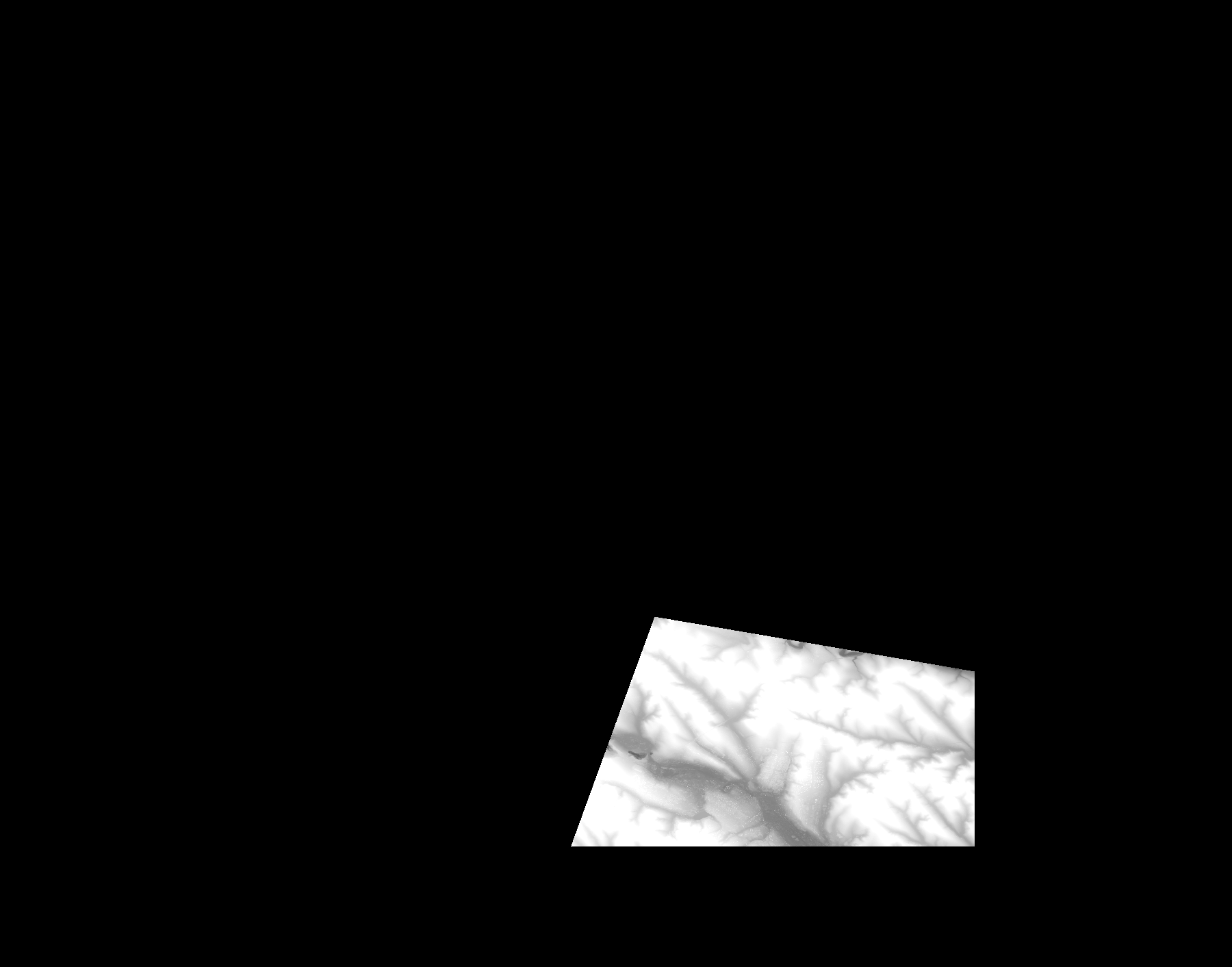
Start Date | 2009-09-13T09:00:09Z |
Stop Date | 2009-09-13T09:00:09Z |
Availability Time | 2009-09-13T09:00:09Z |
Platform Short Name | Cartosat |
Serial Identifier | 1 |
Instrument Short Name | DSM |
Operational Mode | DEFAULT |
Resolution | |
Orbit Number | 0 |
Orbit Direction | |
Path | |
Row | |
Illumination Azimuth Angle | |
Illumination Elevation Angle | |
Footprint | 47.1195432492 28.9978282605 47.1187557608 29.0025039724 47.1186573248 29.0030453706 46.996990379 29.0033406787 46.9966950708 28.7220104755 46.9967442889 28.7219612575 46.9966950708 28.7217643854 47.1562598922 28.7796939951 47.1564075463 28.7797432132 47.1565552003 28.7797924312 47.1567028544 28.7798416492 47.1195432492 28.9978282605 |
Scene Centre | |
Size | 52690387 |
Id | CA1_OPER_DSM_DEM_3D_20090913T090009_N47-000_E028-000_4D |
Acquisition Type | NOMINAL |
Product Type | DSM_DEM_3D |
Status | ARCHIVED |
Bounding Box | 47.5868684 28.3231969 46.9127291 28.3231969 46.9127291 29.1826911 47.5868684 29.1826911 47.5868684 28.3231969 |
Site | Chisinau |