Static Map Catalogue - Full Metadata Record
Collection Cartosat
European Cities: Cartosat-1 Euro-Maps 3D. More details here.
CA1_OPER_DSM_DEM_3D_20090913T090009_N46-000_E028-000_4B
Download Product | Browse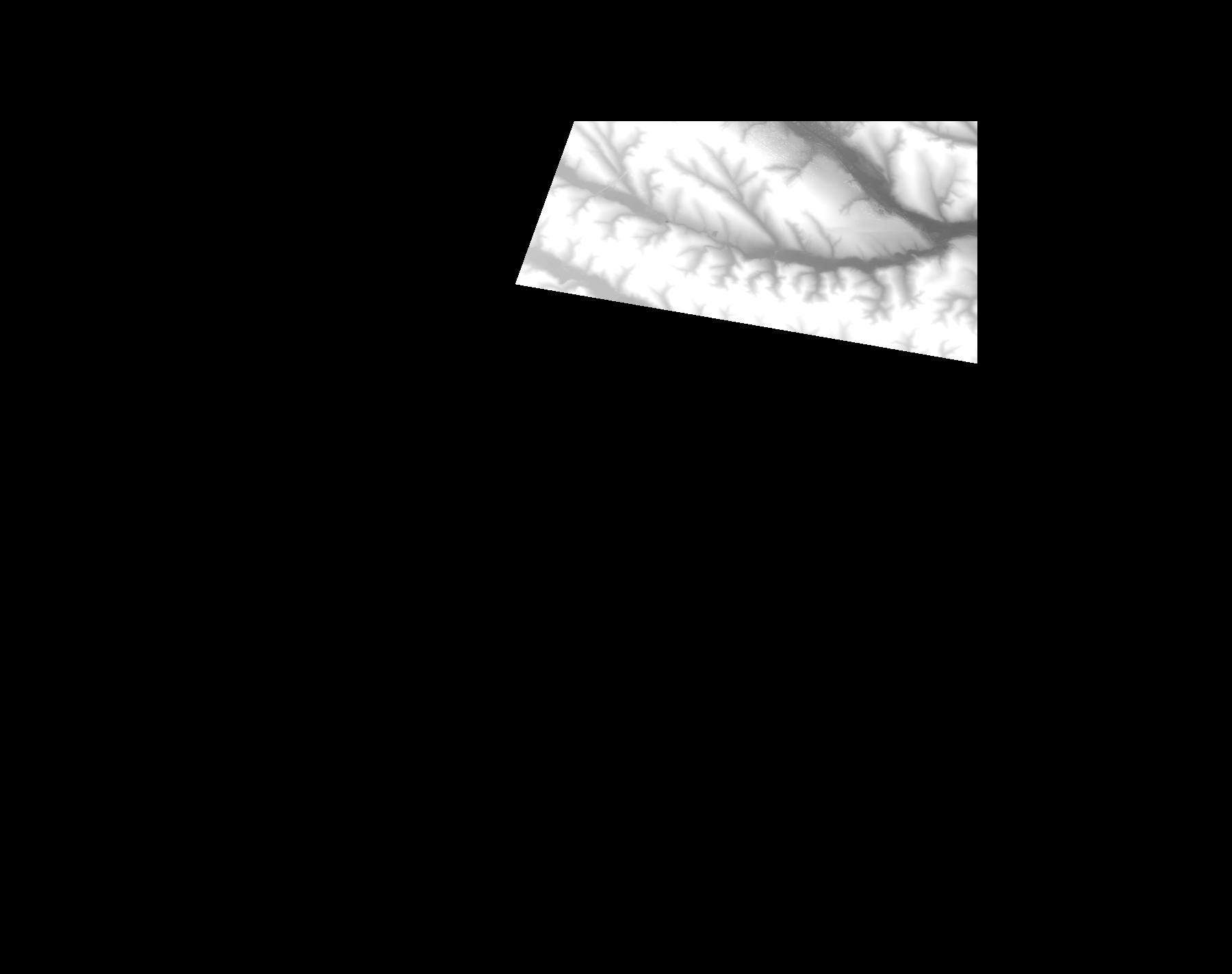
Start Date | 2009-09-13T09:00:09Z |
Stop Date | 2009-09-13T09:00:09Z |
Availability Time | 2009-09-13T09:00:09Z |
Platform Short Name | Cartosat |
Serial Identifier | 1 |
Instrument Short Name | DSM |
Operational Mode | DEFAULT |
Resolution | |
Orbit Number | 0 |
Orbit Direction | |
Path | |
Row | |
Illumination Azimuth Angle | |
Illumination Elevation Angle | |
Footprint | 47.0033452804 29.0028294304 47.0033452804 29.0028294304 47.0033944415 29.0029769137 46.8597948848 29.0032718802 46.8497660216 29.0033210413 46.8497168605 29.0032718802 46.8891440582 28.6905581589 46.8902747633 28.68387225 46.8903239244 28.6836264446 46.8903730855 28.683331478 47.0029028306 28.7236927365 47.0030503139 28.7237418976 47.0033452804 29.0028294304 |
Scene Centre | |
Size | 52480630 |
Id | CA1_OPER_DSM_DEM_3D_20090913T090009_N46-000_E028-000_4B |
Acquisition Type | NOMINAL |
Product Type | DSM_DEM_3D |
Status | ARCHIVED |
Bounding Box | 47.0875091 28.3257337 46.4119865 28.3257337 46.4119865 29.1800060 47.0875091 29.1800060 47.0875091 28.3257337 |
Site | Chisinau |