Static Map Catalogue - Full Metadata Record
Collection Cartosat
European Cities: Cartosat-1 Euro-Maps 3D. More details here.
CA1_OPER_PAN_PAM_3O_20080815T090906_N44-472_E026-118_01
Download Product | Browse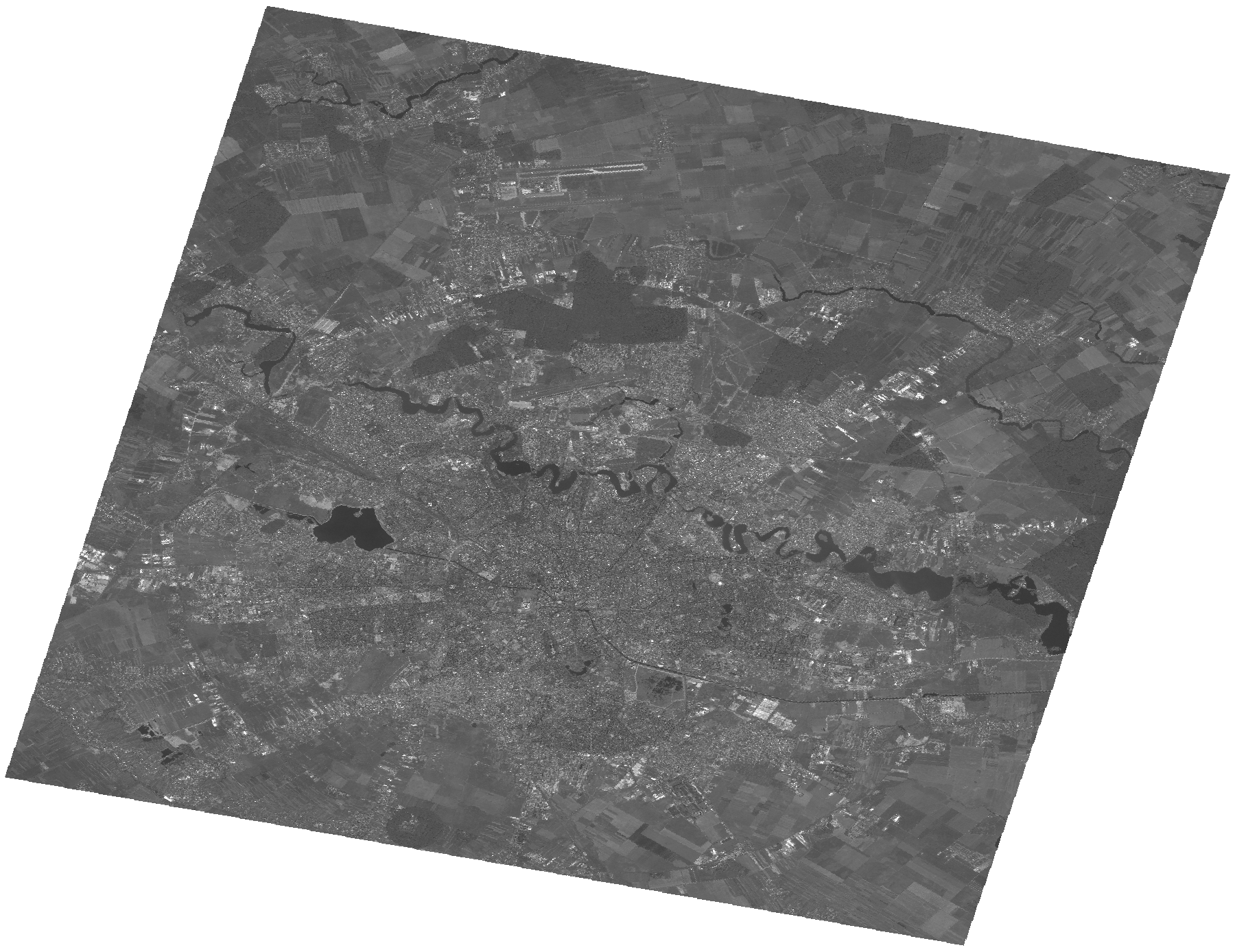
Start Date | 2008-08-15T09:09:06Z |
Stop Date | 2008-08-15T09:09:10Z |
Availability Time | 2008-08-15T09:09:10Z |
Platform Short Name | Cartosat |
Serial Identifier | 1 |
Instrument Short Name | PAN |
Operational Mode | PAM |
Resolution | 2.5 |
Orbit Number | 17755 |
Orbit Direction | DESCENDING |
Path | E026 |
Row | N44 |
Illumination Azimuth Angle | 148.26094641 |
Illumination Elevation Angle | 55.90819434 |
Footprint | 44.6367443 25.9055866 44.3078422 25.9055866 44.3078422 26.3321166 44.6367443 26.3321166 44.6367443 25.9055866 |
Scene Centre | 44.4724916693 26.1188516 |
Size | 108261719 |
Id | CA1_OPER_PAN_PAM_3O_20080815T090906_N44-472_E026-118_01 |
Acquisition Type | NOMINAL |
Product Type | PAN_PAM_3O |
Status | ARCHIVED |
Bounding Box | 44.6367443 25.9055866 44.3078422 25.9055866 44.3078422 26.3321166 44.6367443 26.3321166 |
Site | Bucharest |