Static Map Catalogue - Full Metadata Record
Collection ALOSIPY
ALOS PALSAR IPY Antarctica. More details here.
AL1_OPER_PSR_WB1_15_20091201T224002_20091201T224053_020536_0644_4950_0001
Download Product | Browse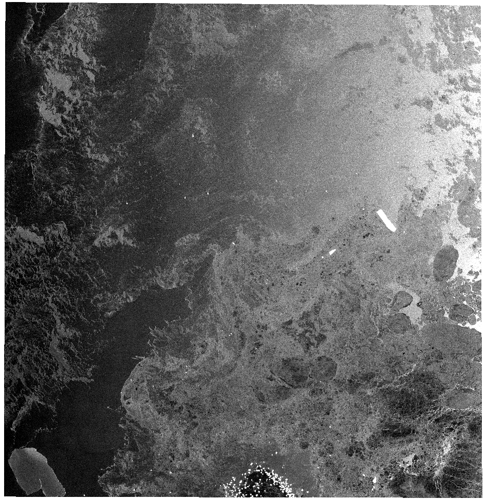
Start Date | 2009-12-01T22:40:02.613Z |
Stop Date | 2009-12-01T22:40:53.313Z |
Availability Time | 2009-12-01T22:40:53.313Z |
Platform Short Name | ALOS |
Instrument Short Name | PALSAR |
Sensor Type | RADAR |
Operational Mode | WB1 |
Orbit | 20536 |
Longitude | 644 |
Latitude | 4950 |
Footprint | -62.386 149.769 -65.326 145.605 -67.040 152.728 -63.924 156.312 -62.386 149.769 |
Scene Centre | -64.722 151.109 |
Size | 44188025 |
Acquisition Type | NOMINAL |
Product Type | PSR_WB1_15 |