Static Map Catalogue - Full Metadata Record
Collection ALOSIPY
ALOS PALSAR IPY Antarctica. More details here.
AL1_OPER_PSR_WB1_15_20081118T222457_20081118T222548_015022_0638_5000_0001
Download Product | Browse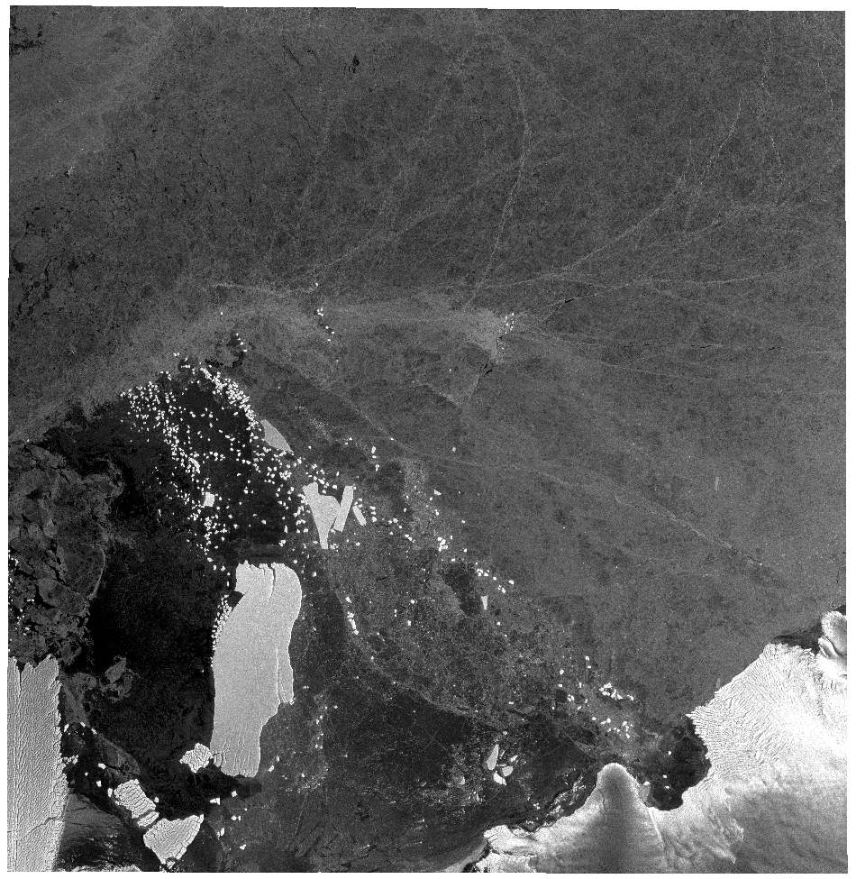
Start Date | 2008-11-18T22:24:57.344Z |
Stop Date | 2008-11-18T22:25:48.044Z |
Availability Time | 2008-11-18T22:25:48.044Z |
Platform Short Name | ALOS |
Instrument Short Name | PALSAR |
Sensor Type | RADAR |
Operational Mode | WB1 |
Orbit | 15022 |
Longitude | 638 |
Latitude | 5000 |
Footprint | -64.517 149.947 -67.348 145.092 -69.215 152.599 -66.180 156.870 -64.517 149.947 |
Scene Centre | -66.873 151.134 |
Size | 44188025 |
Acquisition Type | NOMINAL |
Product Type | PSR_WB1_15 |