Static Map Catalogue - Full Metadata Record
Collection ALOSIPY
ALOS PALSAR IPY Antarctica. More details here.
AL1_OPER_PSR_WB1_15_20090910T063149_20090910T063240_019330_0190_5400_0001
Download Product | Browse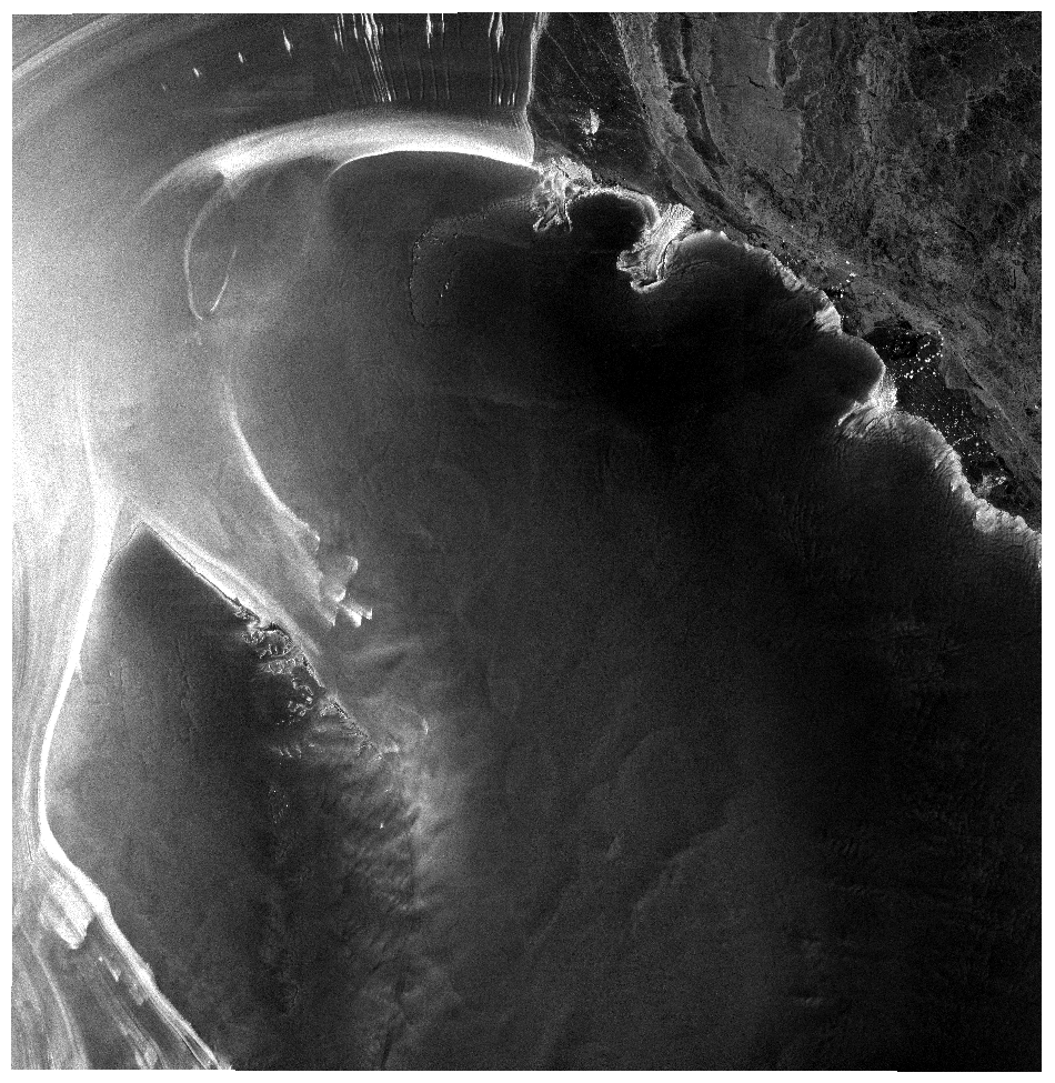
Start Date | 2009-09-10T06:31:49.341Z |
Stop Date | 2009-09-10T06:32:40.041Z |
Availability Time | 2009-09-10T06:32:40.041Z |
Platform Short Name | ALOS |
Instrument Short Name | PALSAR |
Sensor Type | RADAR |
Operational Mode | WB1 |
Orbit | 19330 |
Longitude | 190 |
Latitude | 5400 |
Footprint | -79.819 -39.698 -79.808 -20.322 -76.517 -22.692 -76.525 -37.426 -79.819 -39.698 |
Scene Centre | -78.292 -30.034 |
Size | 44188025 |
Acquisition Type | NOMINAL |
Product Type | PSR_WB1_15 |